MapTiler1 min readintro
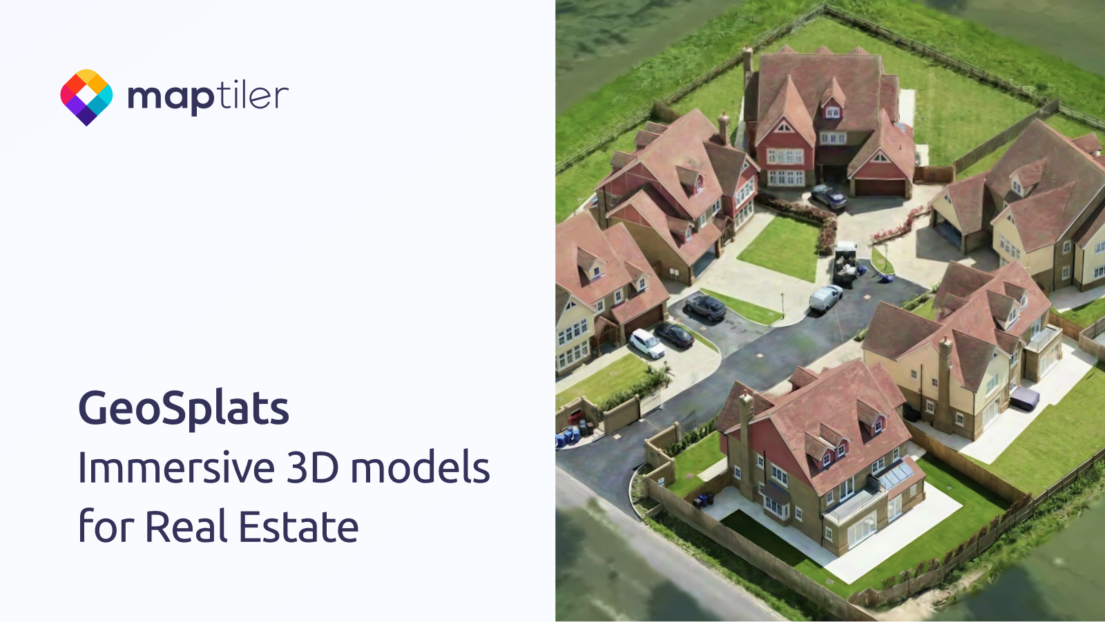
GeoSplats: Immersive 3D Content for Real Estate
Summary
GeoSplats are MapTiler’s embeddable 3‑D models for real‑estate sites, letting users explore properties in the browser without extra software. The article outlines a three‑step upload‑locate‑embed workflow and mentions upcoming terrain blending and annotation features.
- Upload a .ply model, position it on a map, and embed the generated GeoSplat via a simple script tag.
- GeoSplats run entirely in the browser, so users don’t need to download a viewer.
- Future releases will add terrain blending and marker/annotation support for richer property details.
Web developers building real‑estate portals should know about GeoSplats as a low‑effort way to add immersive 3‑D property visualizations.
3/10