Related reading
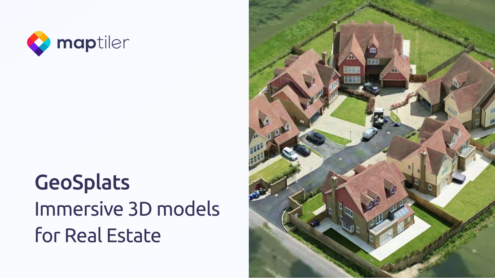
GeoSplats: Immersive 3D Content for Real Estate
GeoSplats are MapTiler’s embeddable 3‑D models for real‑estate sites, letting users explore properties in the browser without extra software. The article outlines a three‑step upload‑locate‑embed workflow and mentions upcoming terrain blending and annotation features.
MapTilermaptiler.com1 minReimagining service delivery in the agentic era with Google Public Sector
Google Public Sector’s blog post outlines how several U.S. state and local agencies are using Google Cloud’s AI services (BigQuery, Gemini, document‑analysis models) to replace manual data‑entry pipelines, consolidate data silos, and accelerate specific projects. Reported outcomes include mapping 52 k parcels in <1 yr vs. a 33.5‑yr estimate (UT DOT), $1.3 M cost savings for real‑time translation…
Google Cloud Bloggoogle.com4 minArticle: Architecting Secure and Scalable Facial Verification Systems
A real‑world post‑mortem of a high‑volume face verification service that moved from a naïve synchronous API to an async, layered pipeline (edge validation, preprocessing, decoupled detection/verification, decision engine) to achieve 8.5k rpm, p99 < 1.8 s, 30 % cost savings, and strict privacy controls.
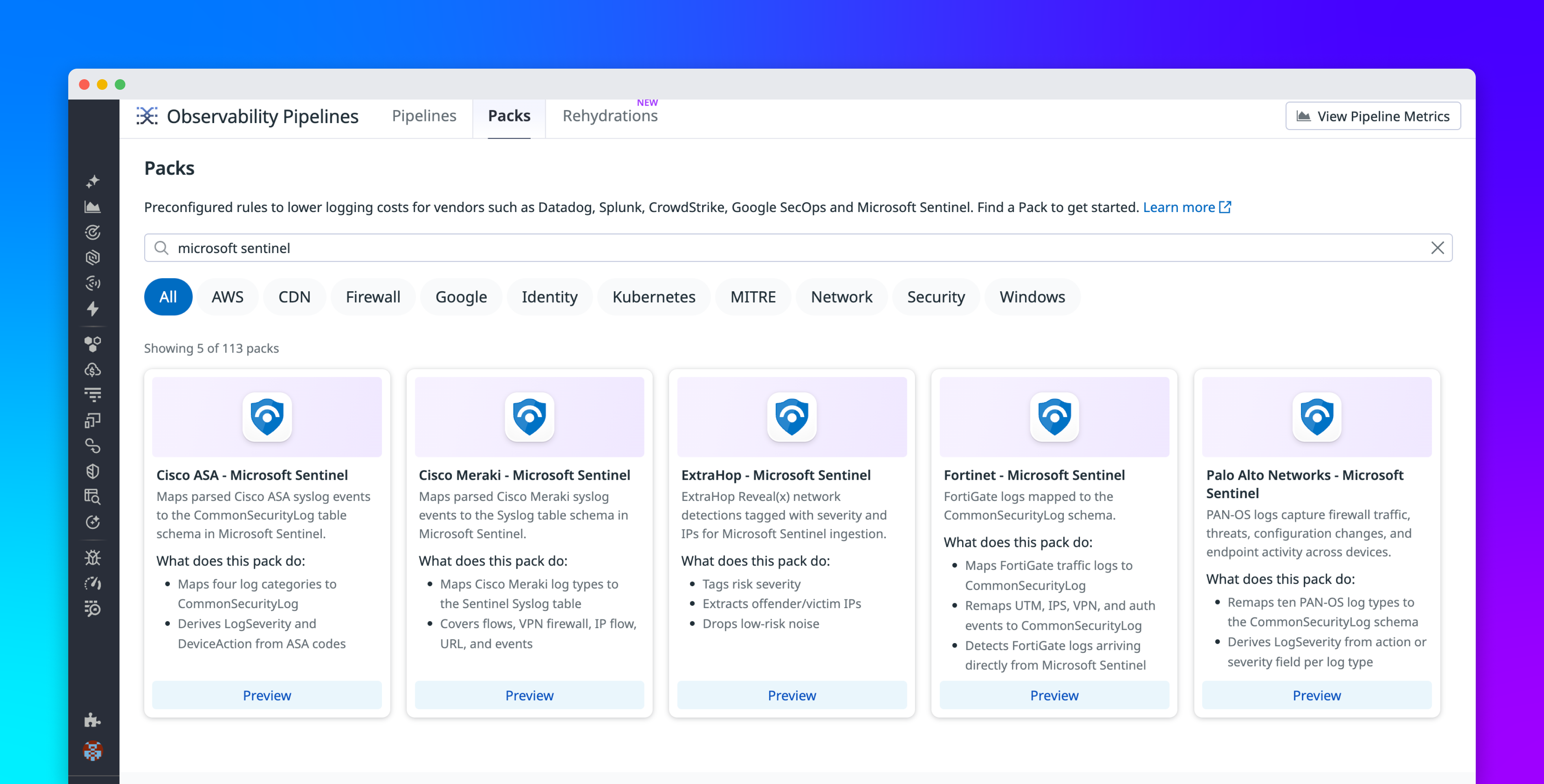
InfoQinfoq.com15 minTransform and route security logs to Microsoft Sentinel tables using Observability Pipelines
Datadog Observability Pipelines now ships pre‑built Microsoft Sentinel Packs that map logs from Palo Alto, Fortinet, Cisco ASA, Cisco Meraki, and ExtraHop into Sentinel’s CommonSecurityLog or Syslog tables. Packs handle field extraction, severity derivation, and device‑action mapping, letting you filter or drop low‑value events before ingest, validate mappings with Live Capture, and reduce per‑GB…
Datadogdatadoghq.com5 min