1
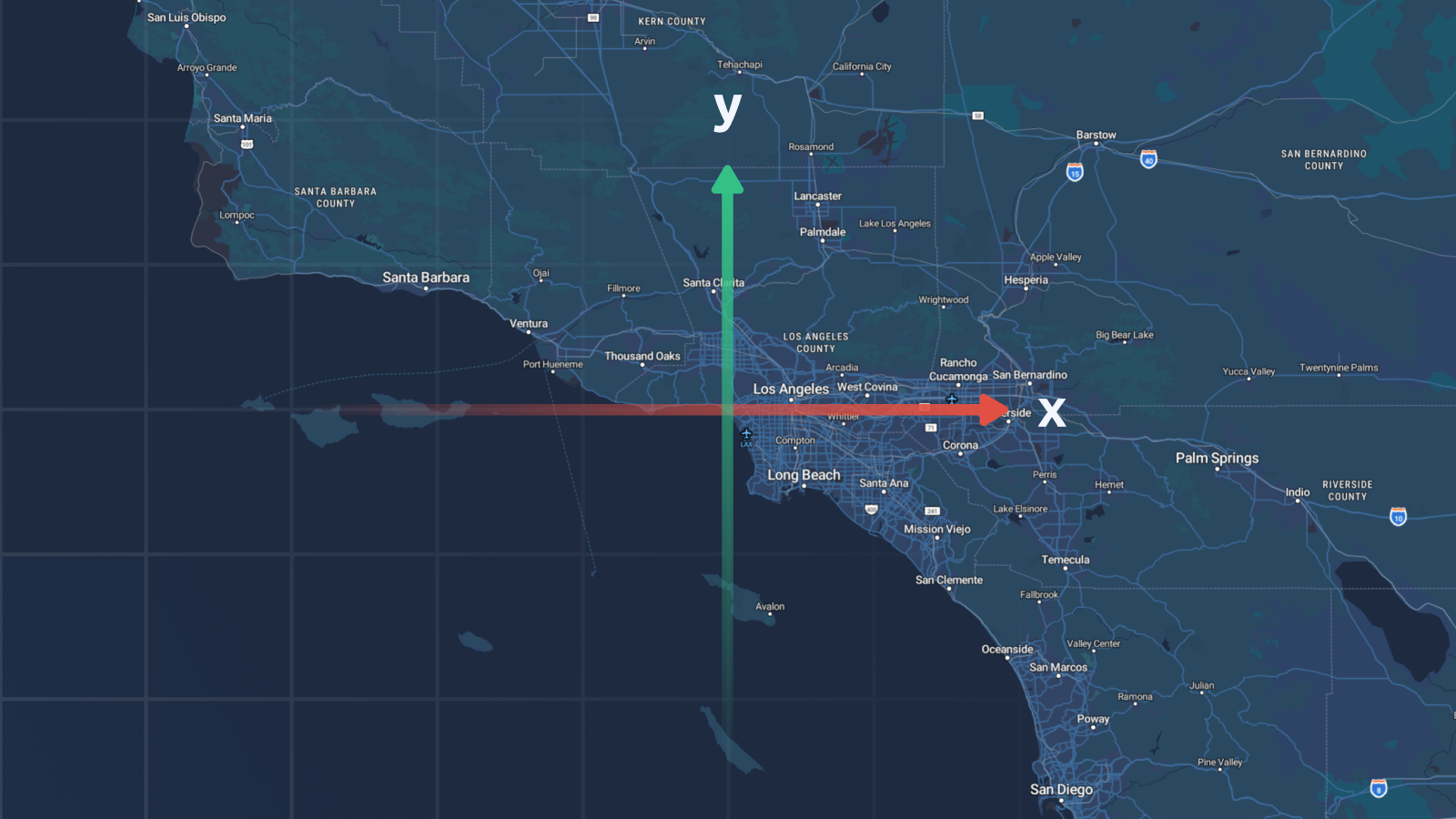
Understanding X & Y Coordinates in GIS & Web Mapping
A high‑level overview of planar (X/Y) coordinates versus geographic (lat/lon), covering projections, common pitfalls (axis order, datum shifts, unit mismatches), and typical professional use‑cases such as cadastre, CAD, drone photogrammetry, and web‑map rendering. Includes a brief mention of EPSG codes (4326 vs 3857) and MapTiler’s conversion tools.
MapTilermaptiler.com4 min