Related reading
Enhancing Photogrammetric Digital Surface Models with Pretrained Diffusion Models and Multimodal Conditioning
The authors adapt Stable Diffusion 3 with a pruned text stream and patch‑wise normalization to condition on photogrammetric DSMs and Pléiades imagery, refining elevation maps. In French city tests the method halves RMSE, reaching 3.45 m in‑context and 2.77 m on a held‑out city.
Hugging Face Daily Papersarxiv.org1 minpaperCity building games have a Soul Problem pt.2
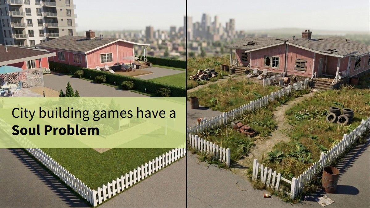
The author argues that modern city-building games, specifically Cities: Skylines 2, lack "soul" due to overly sterile and uniform aesthetics. They propose adding organic shapes, subtle imperfections, and visual cues for urban decay to enhance realism and immersion.
Hacker News front pageradical-elements.com3 minHN167155GeoSplats: Immersive 3D Content for Real Estate
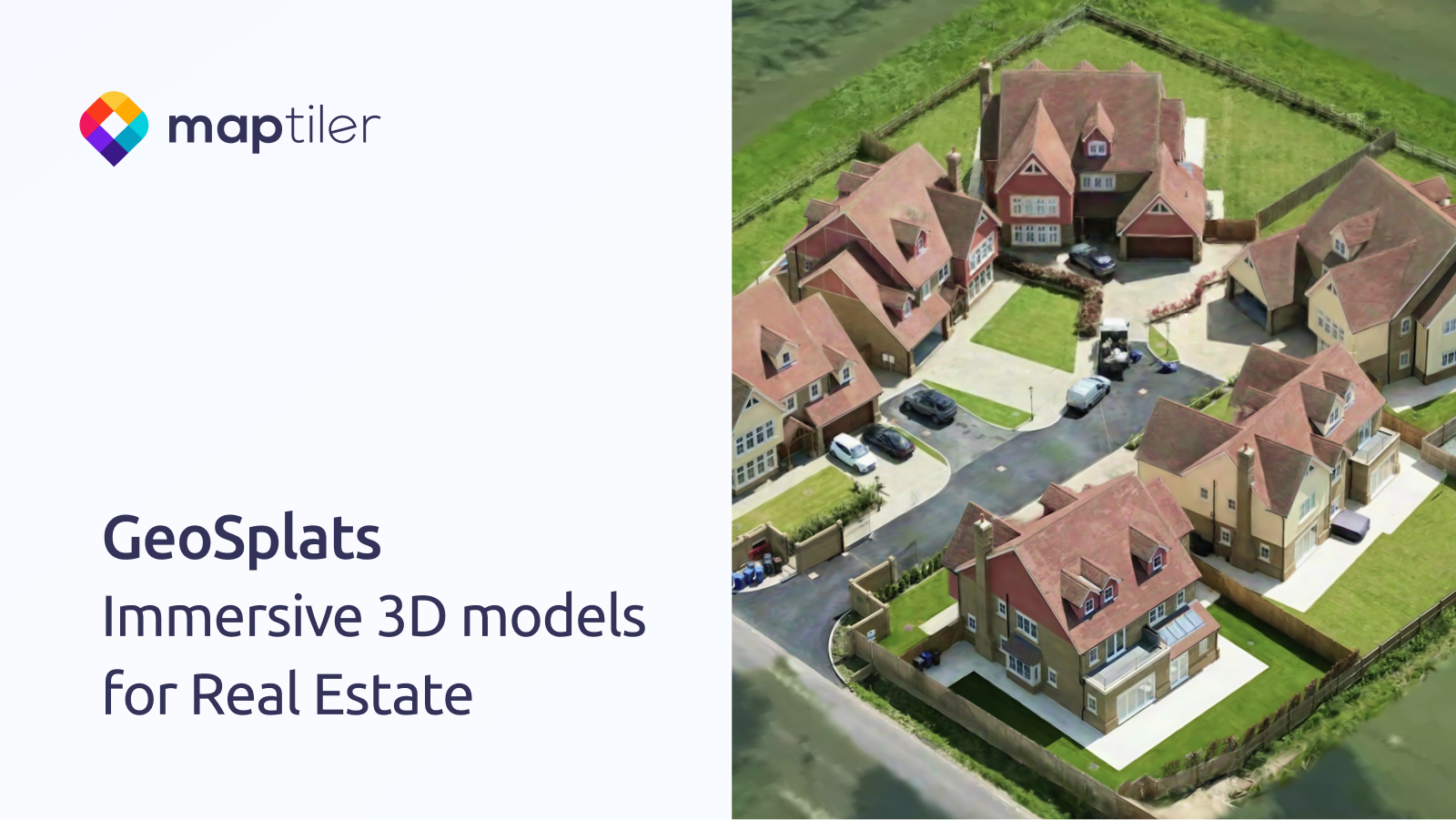
GeoSplats are MapTiler’s embeddable 3‑D models for real‑estate sites, letting users explore properties in the browser without extra software. The article outlines a three‑step upload‑locate‑embed workflow and mentions upcoming terrain blending and annotation features.
MapTilermaptiler.com1 minCan MiniMax-H3 Reason About the Physical World? An Evaluation of Omni-Modal Generative Model
This paper introduces a novel evaluation framework to assess the physical world reasoning capabilities of omni-modal generative models like MiniMax-H3. It found that MiniMax-H3 achieved an overall success rate of 41.97% across 517 instances, with significant performance variations depending on the input modalities and reasoning tasks.
Hugging Face Daily Papersarxiv.org2 minpaper